{"name":"Current Note","mapZoom":1,"centerLat":53.330872983017066,"centerLng":-2.1093750000000004,"query":"linkedto:\"$filename$\"","chosenMapSource":0,"autoFit":false,"lock":false,"showLinks":false,"linkColor":"red"} Photo Locations
| Image | Title | Location | Best Time |
|---|---|---|---|
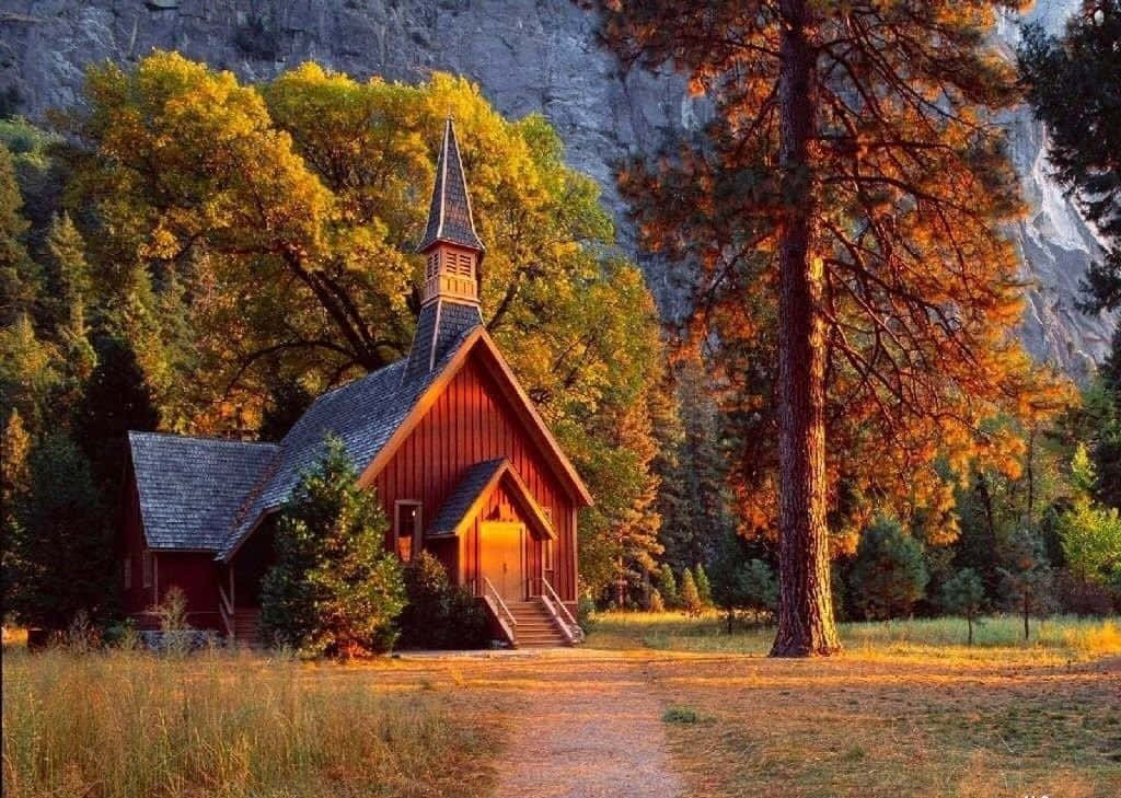 | Yosemite Valley Chapel | Yosemite National Park, USA |
|
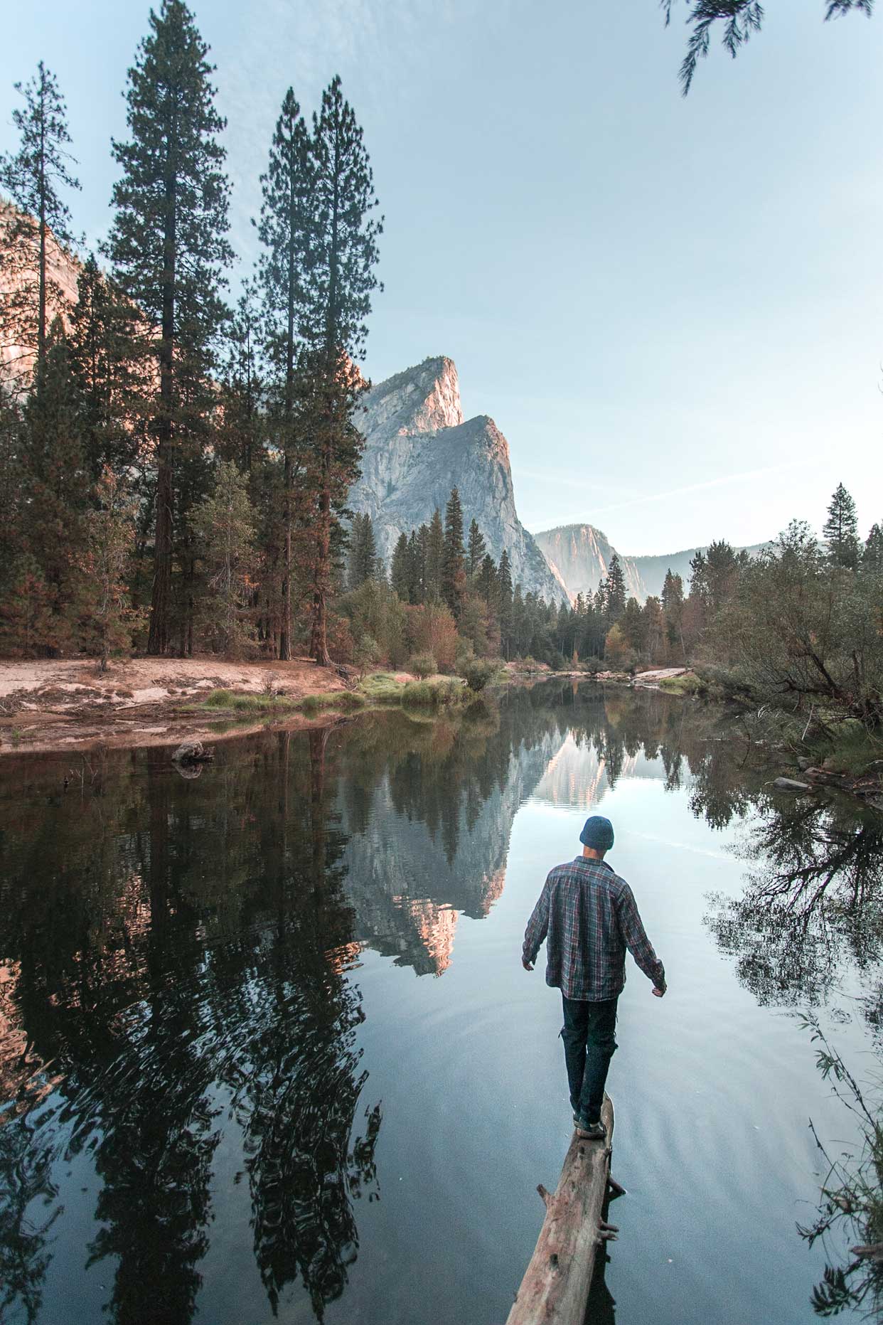
 | Sentinel Bridge | Yosemite National Park, USA |
|
 | Olmsted Point Overlook | Yosemite National Park, USA |
|
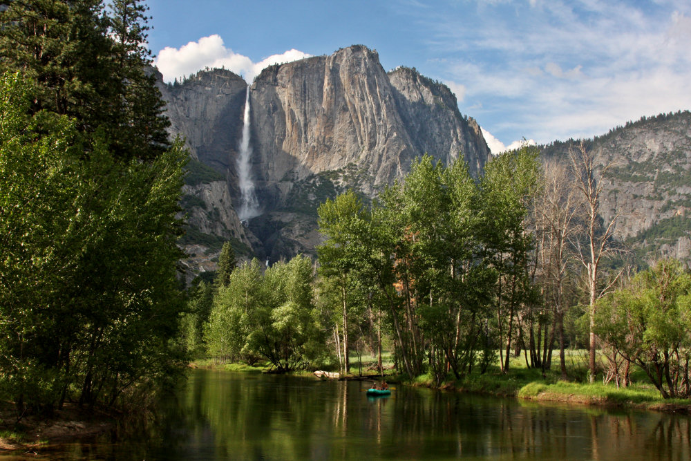
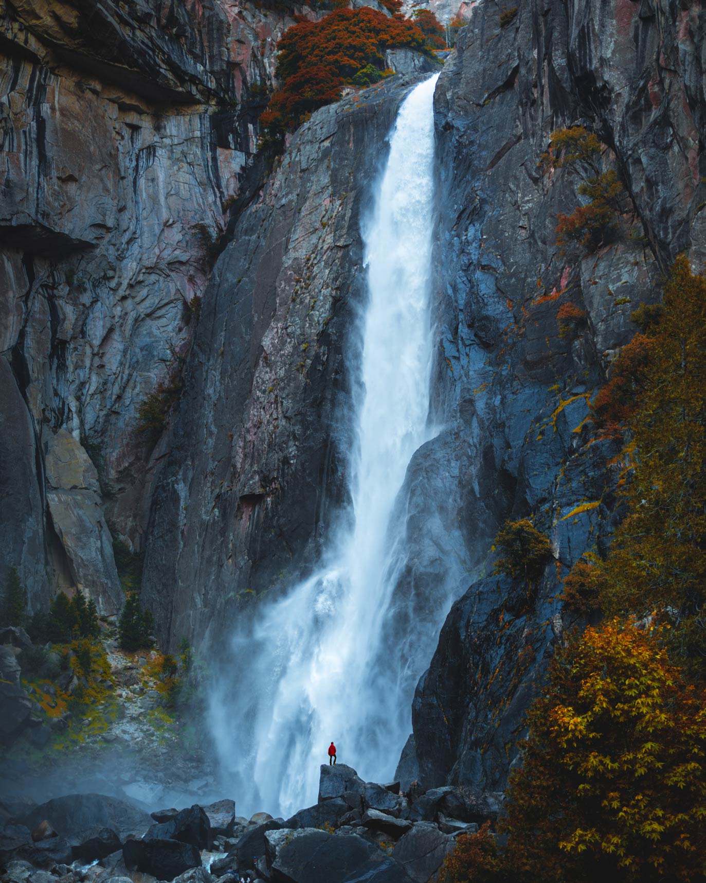 | Lower Yosemite Fall Vista Point | Yosemite National Park, USA |
|
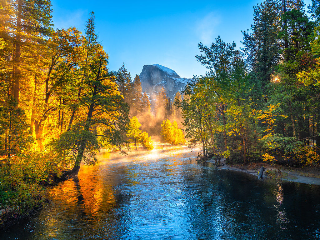
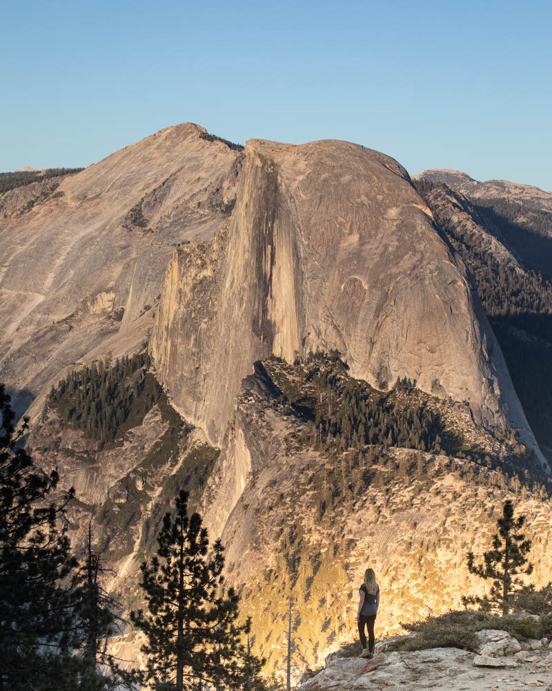
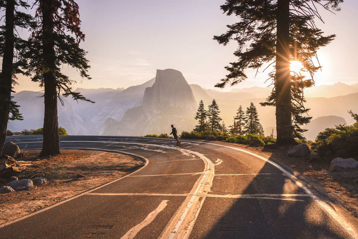 | Glacier Road Point View of Half Dome | Yosemite National Park, USA |
|
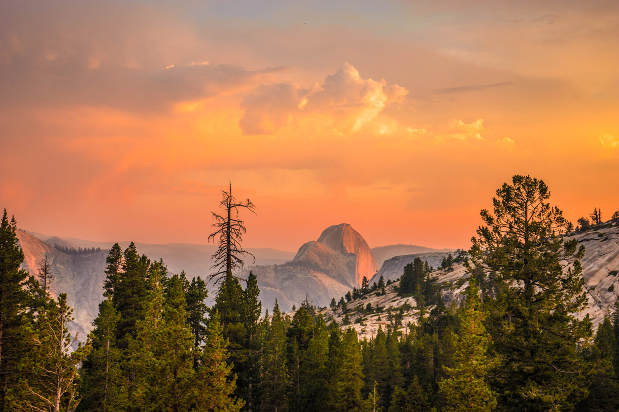
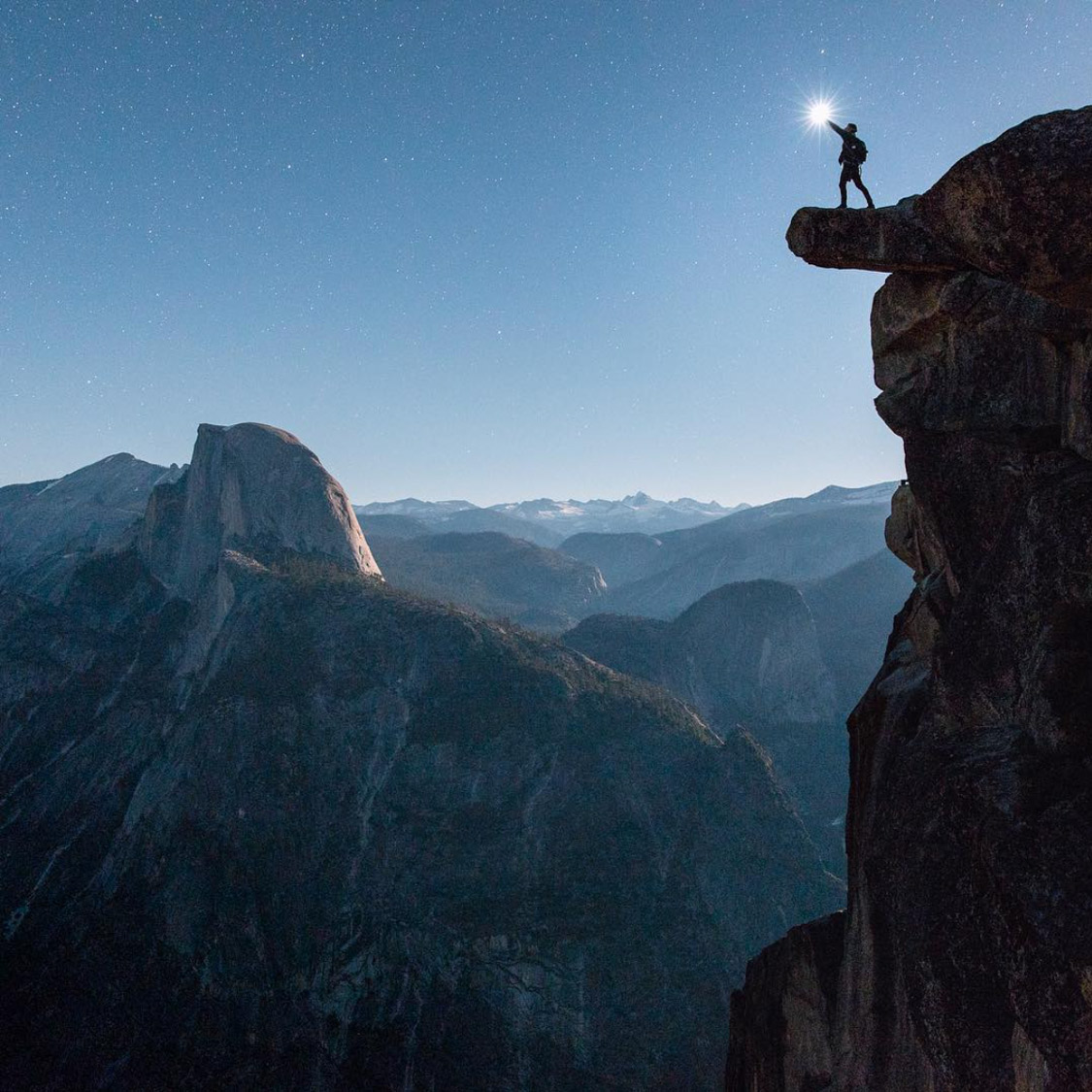 | Glacier Point | Yosemite National Park, USA |
|
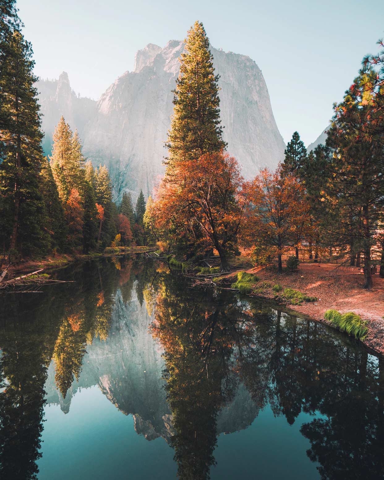 | El Capitan Dr view of Merced River & Cathedral Rocks East | Yosemite National Park, USA |
|
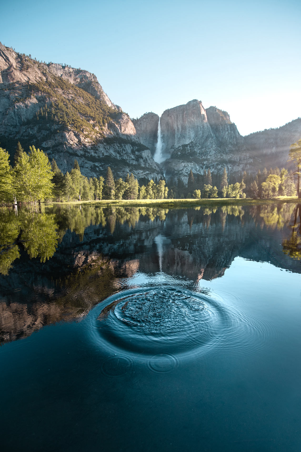
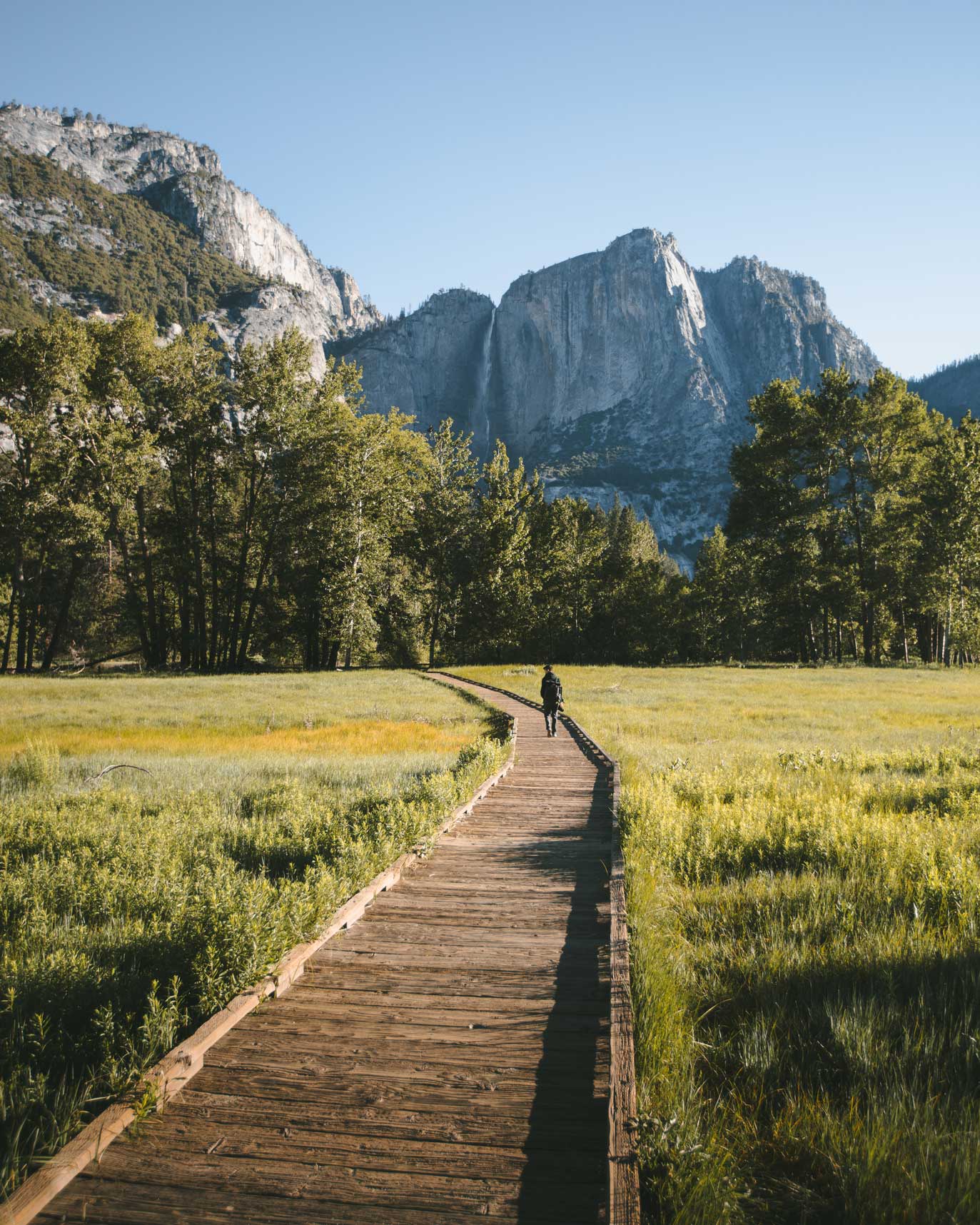 | Chapel Boardwalk view of Yosemite Falls | Yosemite National Park, USA |
|
 | Cathedral Beach along Merced River | Yosemite National Park, USA |
|
 | Sentinel Dome | Yosemite National Park, USA |
|
 | Swing Bridge View of Yosemite Falls Merced River | Yosemite National Park, USA |
|
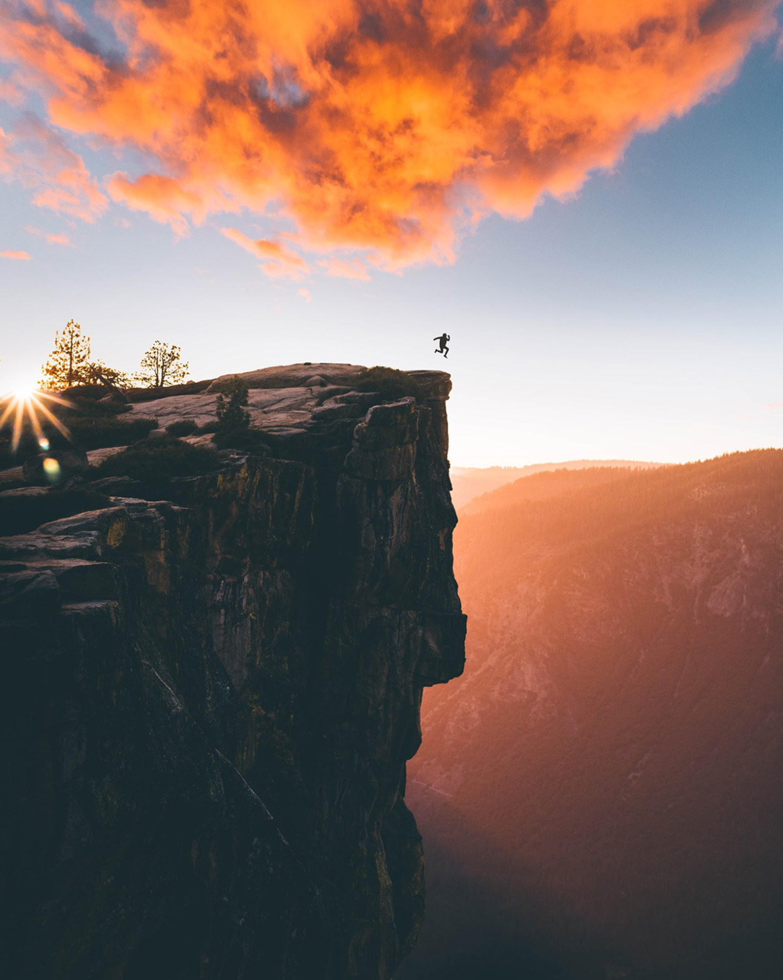 | Taft Point | Yosemite National Park, USA |
|
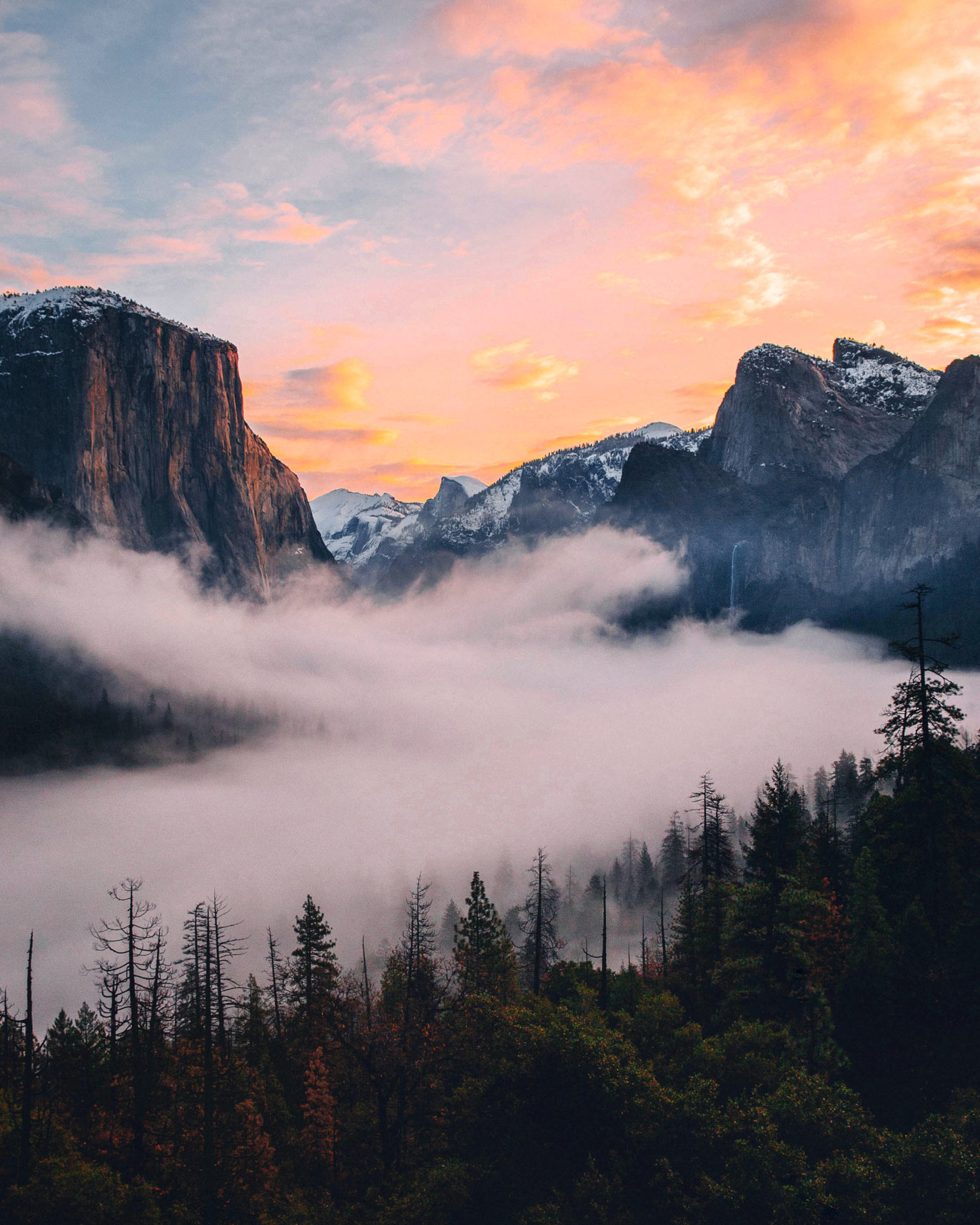 | Tunnel view | Yosemite National Park, USA |
|
Hikes
| Image | Title | Location |
|---|---|---|
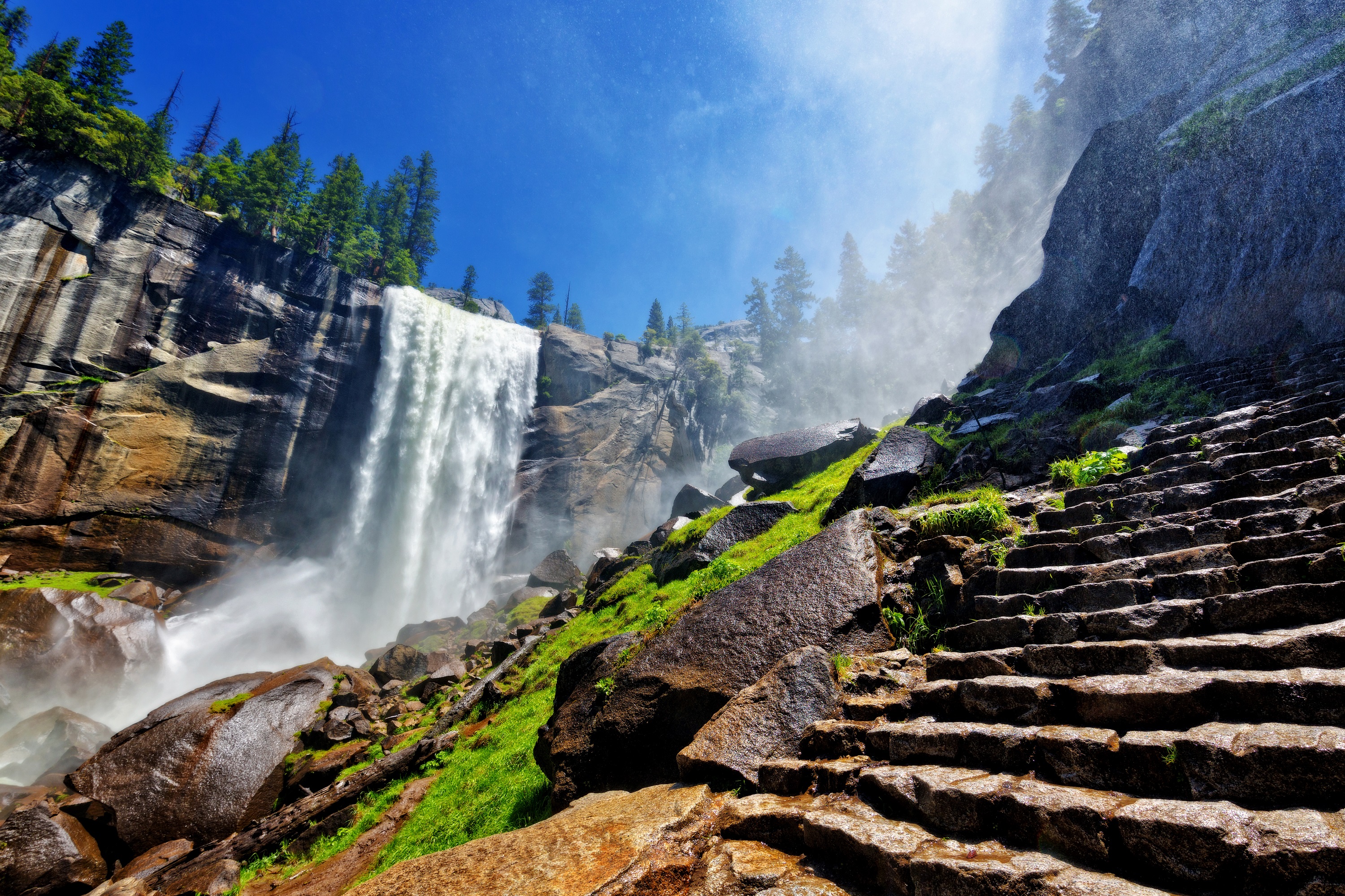 | Mist Trail & Falls Trail | Yosemite National Park, USA |
 | Sentinel Meadow & Cook’s Meadow Loop | Yosemite National Park, USA |
| No Image | Taft Point Trail | Yosemite National Park, USA |
Food
| Image | Title | Location |
|---|
Accommodation
| Image | Title | Location |
|---|---|---|
| No Image | Upper Pines Campsite | Yosemite National Park, USA |
Other
| Image | Title | Location |
|---|